We came to learn about the Owyhee area when reading about each US state’s most remote area. This is the most remote part of Oregon – farthest away from a major highway and possibly the darkest night sky in the entire USA (excluding Alaska). Nestled in the south east corner of the state, “Owyhee”, sounding similar to “Hawaii”, got its name back in the day when trappers from Hawaii tackling the Owyhee River, met their fate on the journey and were never seen again.
Remote, rugged, unique and beautiful. The desire to go and explore the Canyonlands in person was a strong one. In April 2018, we did just that, making a bee-line south east from BC, to pursue the wild in Owyhee country. Our experience into the Owyhee was simply put… surreal. We had read articles, browsed photographs, and even watched videos from the area, but being there in person and taking it all in through our own eyes was borderline magical.
THE TRIP:
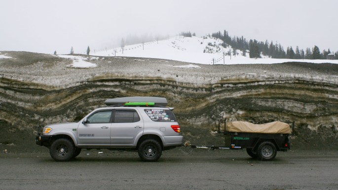
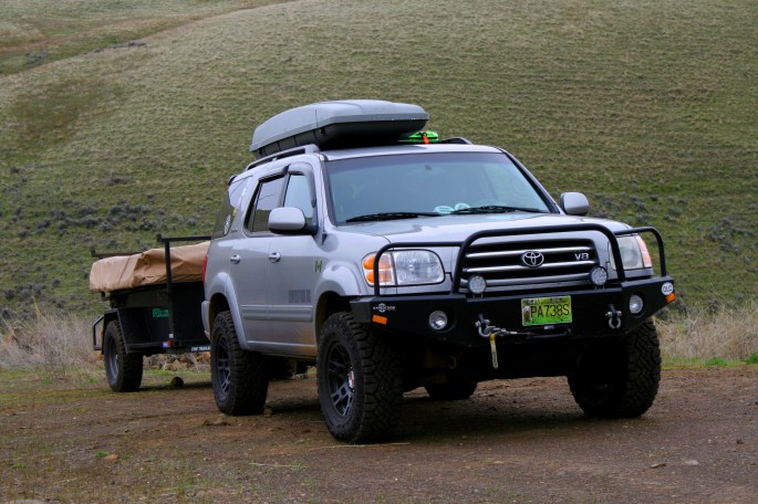
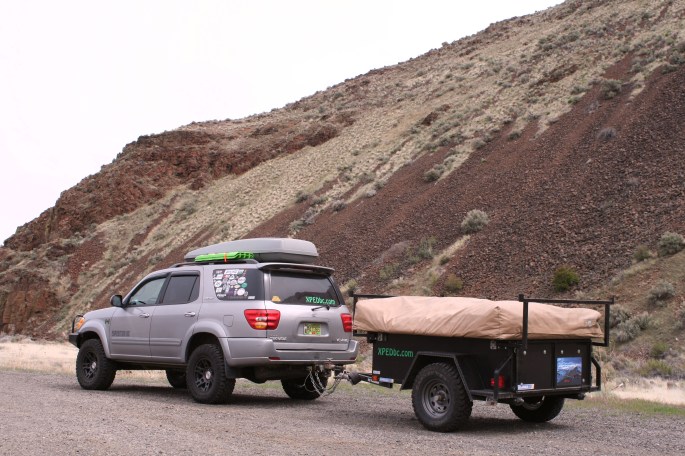
After loading the family into the trusty Sequoia and hooking up our Kakadu Bushranger trailer, we planned to cruise the interstate until getting closer to our destination. This would allow us more time to spend exploring our destination, and hopefully get to drier and warmer weather quicker. Crossing into Washington state was a breeze, and quickly we found ourselves up and over Snoqualmie Pass, east of Seattle.
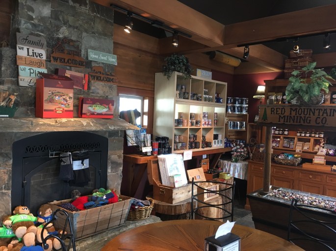
Reaching the summit in the clouds and stopping for a quick break, we were quickly reminded that it was indeed still Spring time, especially in the mountains. The coffee shop at the summit was a nice break. The java and snacks were not bad either!
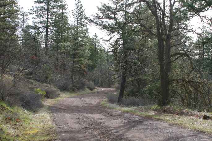
Somewhere just north of Goldendale, WA, we wound our way up a forest road well after dark (something that occurs frequently), and made camp for the night. Once morning came, we saw that it was a decent place to spend the night.
The drive back to the highway was more pleasant during daylight.
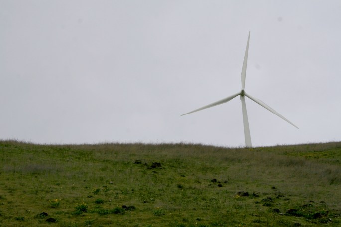
Continuing south, even though we were trying to travel efficiently toward the Owyhee, it was hard not to stop and take in the sights nearing the Columbia River, separating WA and OR states. The windmills are always neat to see, and the kids love pointing them out to us, even when they are peeking out from behind the rolling hills.
I struggle to snap just as many scenic shots as I do of the truck.
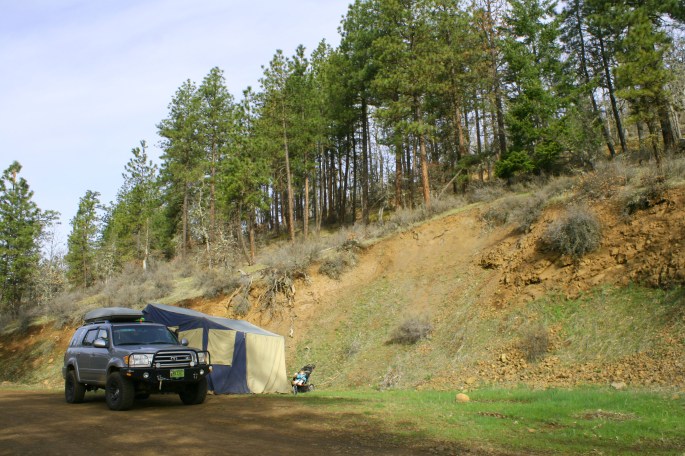
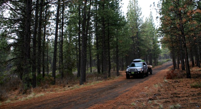
We crossed the Columbia and continued south to just outside of Bend, OR. A 20 minute drive west of town brought us to a beautiful pine forest where we spent the night. The forest had recently burnt and the dozens of added fire-roads made for difficulty navigating the pre-existing road network. Relying on a Delorme backroad map, which took an hour of running around Bend to locate and purchase, we started thinking about upgrading out navigation equipment, so far relying on paper maps and an outated GPS unit (feel free to message us with navigation suggestions… maps, apps, GPS devices etc!)
So much for warmth in the desert… we had fresh snow fall overnight and in the morning, but the kids didn’t seem to mind, still eager to check out their new surroundings.
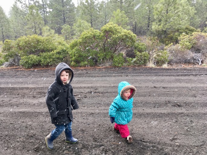
We left the Bend area and headed east, more into the heart of the Oregon desert. Here too we had snow flakes blowing around on the road.
We were making pretty good time, considering the two kiddos were in tow. They are usually quite content travelling, perhaps since we introduced it to them at a young age. The interior size of the Sequoia allows for a healthy amount of personal space. A large plug-in cooler in between each child also helps!


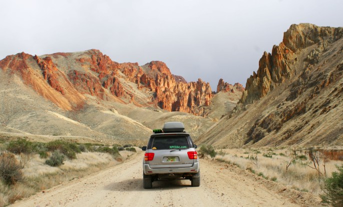
Soon we were getting close to the red rock area, getting a taste of what was to come.
Here’s where the adventure went a little off-the-rails. The timing was terrible, as the majority of us came down with some form of related cold/flu illness at the same time, and we found ourselves out in the windy desert without many dispersed camping options. To be honest, I probably wasn’t in the best condition to keep driving another full day. We wound up in a hotel in Burns, OR for a few nights to recuperate. This is something we almost never do, and was not true to our style of adventure, however it was the right thing to do at the time. Keeping young children warm and dry, while out in a tent in the snow and wind, and while we were not feeling well, would have been quite a challenge.
While our stay in Burns was unexpected, it allowed us to rest up some and we actually enjoyed walking around and checking out the little town. It felt a little like a ghost town with the tumbleweeds and all, but the people we came across were friendly and happy to chat.
From Burns, you can head south to the Malheur Wildlife Refuge, which gained national attention in winter of 2016 as the location of a 41-day standoff between law enforcement and armed anti-government protesters – an interesting story in itself!
South of Burns is also the main route to the Alvord Desert and Steens Mountain area, another destination high on our list of areas to explore (another time).
OWYHEE.
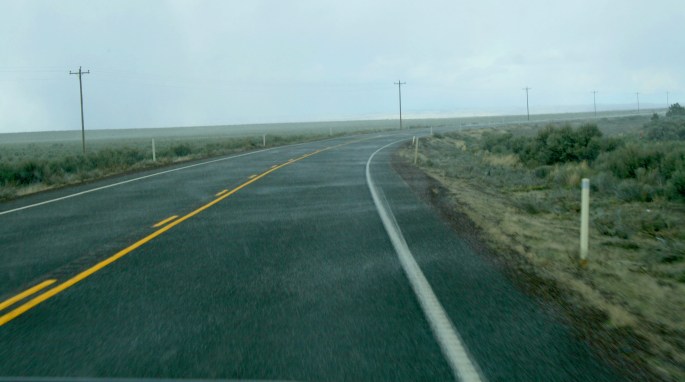
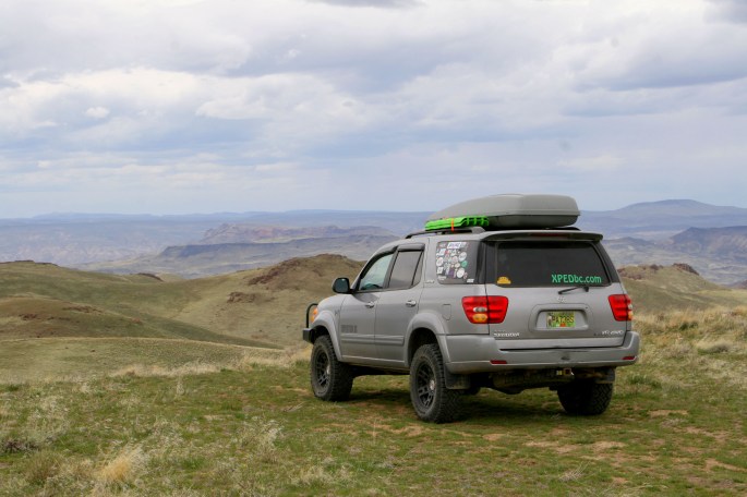
Leaving the snow and wind behind, at last we reached the Owyhee area, beginning in the north along the Owyhee River. The warmer weather combined with feeling a bit better overall and actually reaching our destination, was a complete turn-around in terms of attitude toward the trip. The beauty of the Owyhee was unfolding around us.
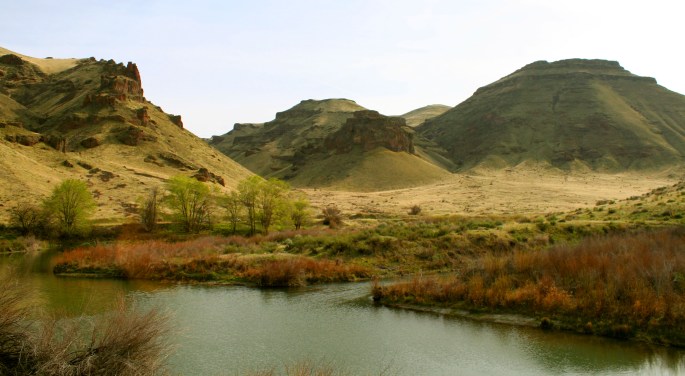
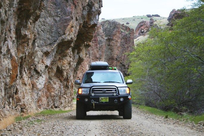
This was definitely the more popular and easiest accessed portion of the river. The winding canyon road was paved, although full of bumps and potholes, and arriving on a weekend we saw several campers and people fishing. Most of the license plates seen were from Idaho, with the Boise area being the closest large town (still hours away).
We passed by the Owyhee Reservoir Dam, a 400+ foot tall concrete dam built to create the large Owyhee Reservoir. The dam’s construction was completed in 1932 during the Depression, and was the tallest of its type in the world when completed – a record that would be broken just a few years later. Here you can see only the upper half of the structure.
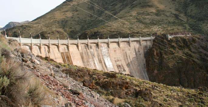
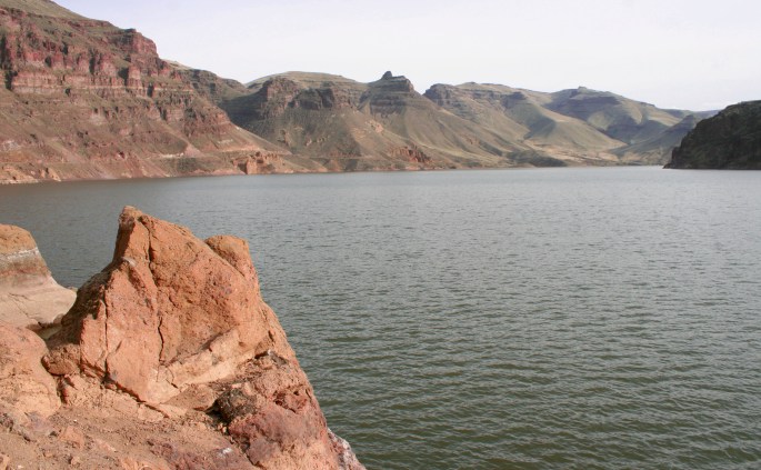
The reservoir behind was an impressive sight and we enjoyed the slow drive alongside. It seems most of the people in the area were only interested in fishing, as above the dam we only saw a few vehicles at the state-run camp ground.
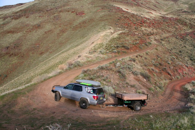
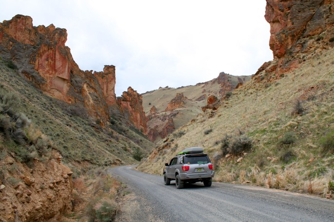
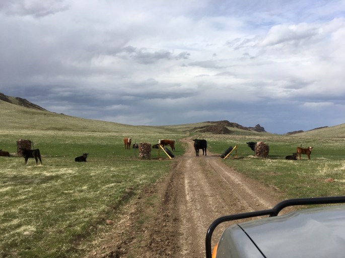
From here, the GPS and map book showed Fisherman’s Road, indicated on the map as a thick black line, otherwise known as a well traveled unpaved road, which went up over the mountain to the Succor Creek area we wanted to see. The road we saw through the windshield was more of a goats path, over a cattle guard and not well traveled. The surface was a loose dirt two-track with softball sized rocks strewn about. It was almost dark as the sun was getting low on the horizon across the lake, and it would have been nice to setup camp in the daylight… oh well. Fisherman’s Road looked like too much fun, so up we went.
In the end, we were ecstatic with the decision to go up the road. We had some beautiful sunset views, and didn’t see another soul for miles.
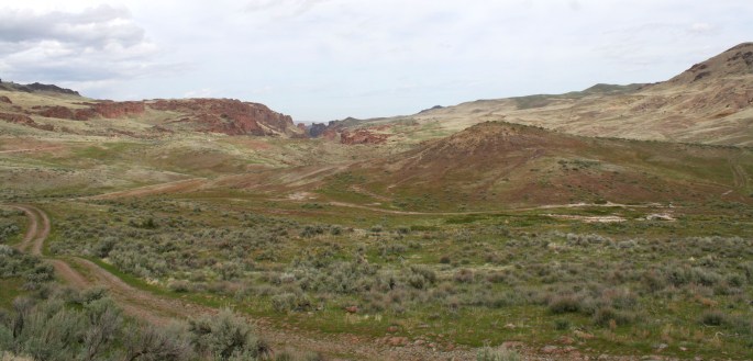
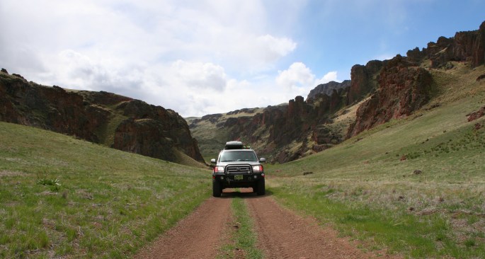
The road climbed up the desert valley which was still green from spring rains, and the road surface remained mostly consistent – rough, but not challenging.
Over the shoulder of the hills, the road intersected many other less-worn trails in all directions. We contemplated camping up top and exploring more in the morning, but up on the high desert plateau the winds were blowing pretty strong and of course, there were no trees for shelter. We continued along after dark, blasting our off road lights ahead of us into the dusty darkness.
We reached Succor Creek road, opening and closing a cattle gate before the junction. The road wound through the plains and down into a tight valley where we found camp in total darkness. We had no idea what visual delights were in store the next morning, and it was a pleasant surprise after arriving in camp late at night.
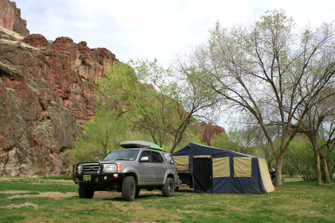
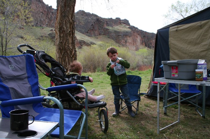
As a bonus, it was finally warm! Not hot… but warm enough to spend time outside without bundling up, especially for the kids. We enjoyed a leisurely breakfast and relaxed in camp, even setting up a hammock and going for a walk.
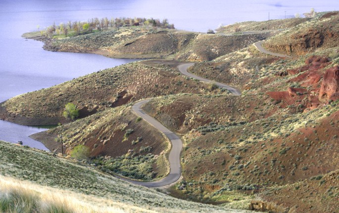
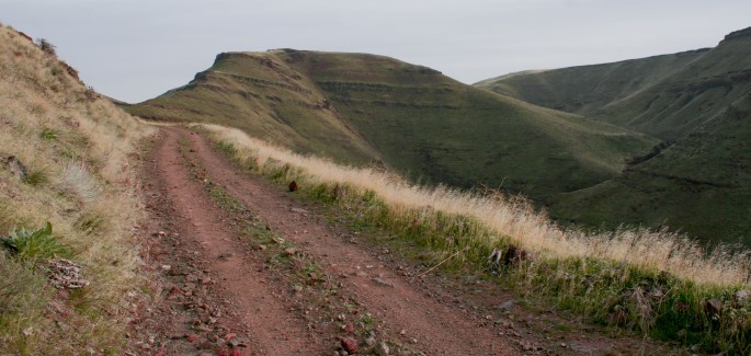
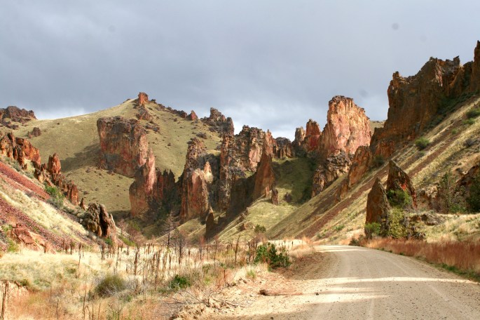
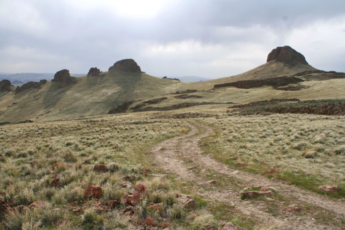
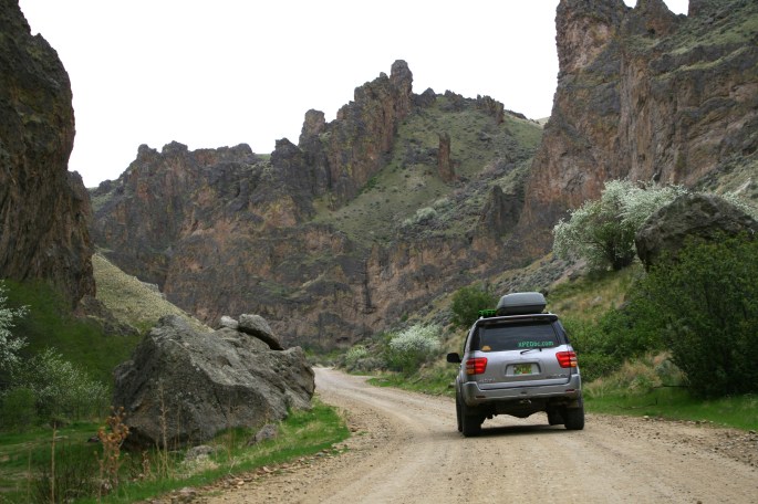
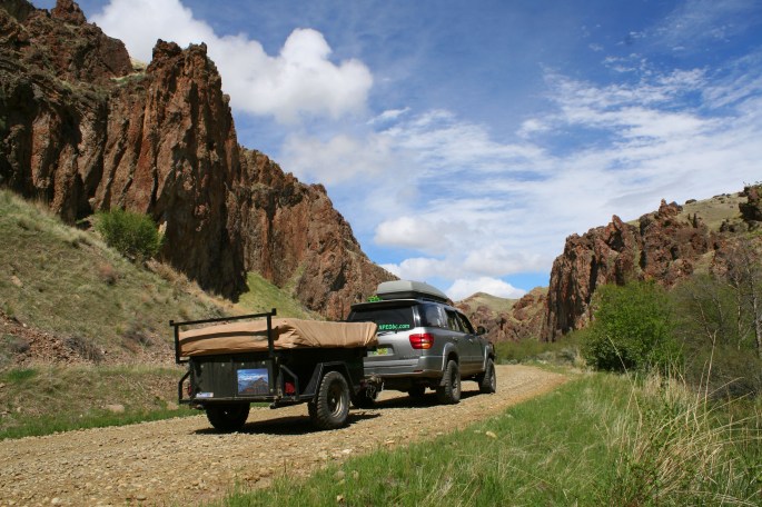
In the afternoon, we left camp all set up and went exploring on 4 wheels. There were dozens of unmarked roads, winding through the hills and some up and over the mountains. One could spend days exploring, just in the Succor Creek region itself.
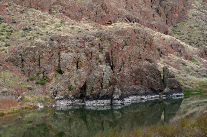
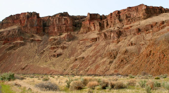
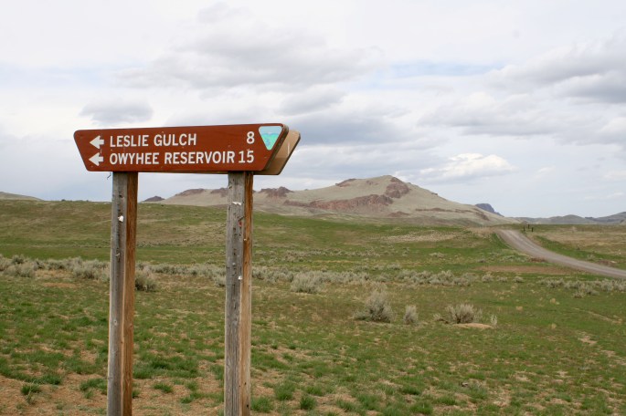
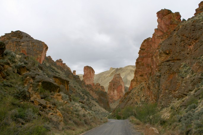
The area of Leslie Gulch was calling our names, however. This is one of the top destinations in the Owyhee due to the fishing opportunities, free camp ground, hiking trails and red rock scenery.
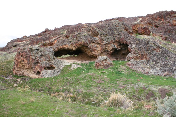
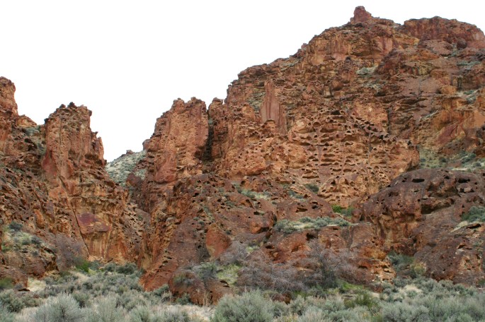
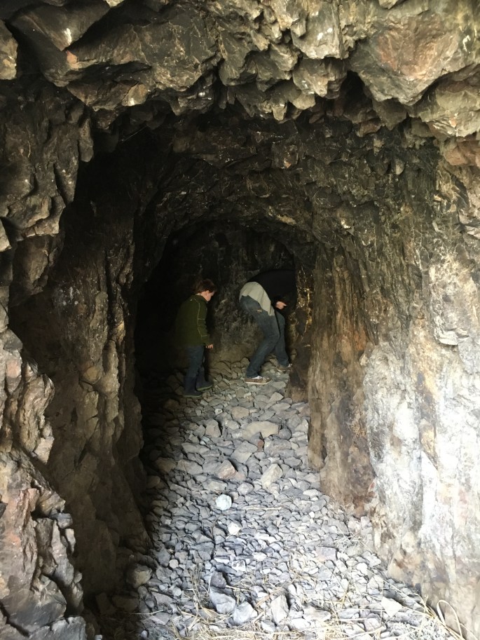
Around every corner was something new to check out. Our boy especially liked crawling around these caves. It appears the cattle did also, since there were dried cow patties everywhere.
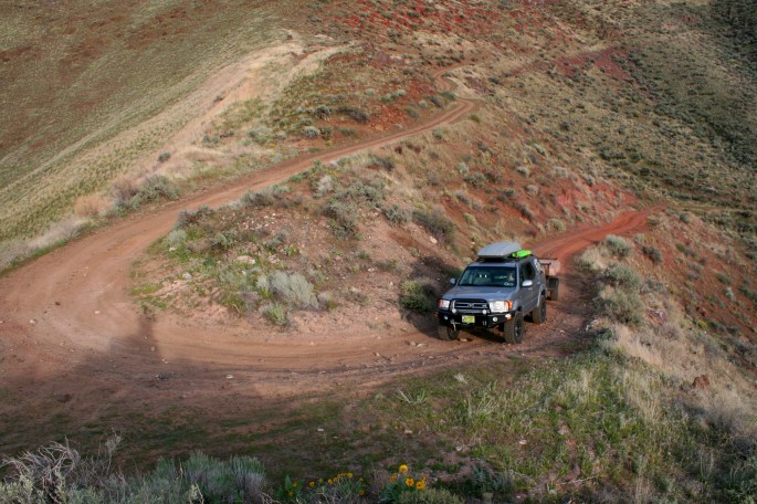
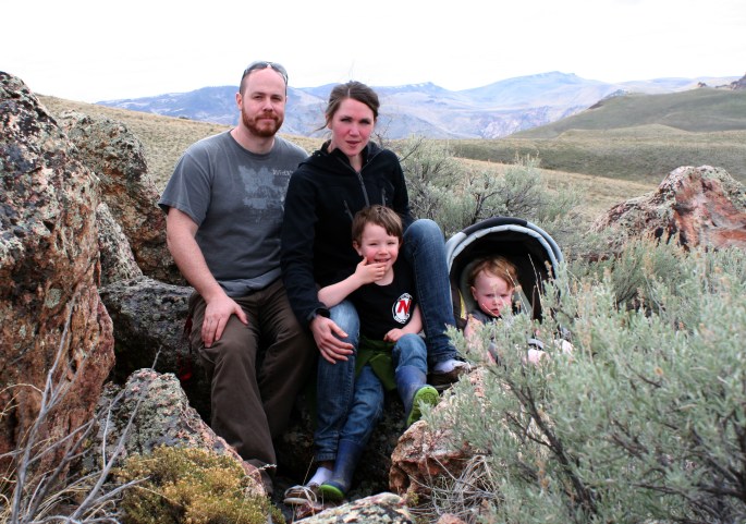
We detoured on a steep two track which followed a fence line straight up the hill. Once reaching a ridge, the trail followed the height of land and we came to a nice lookout with no sign of civilization as far as the eye could see.
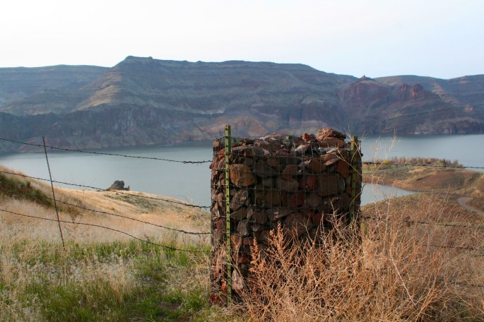
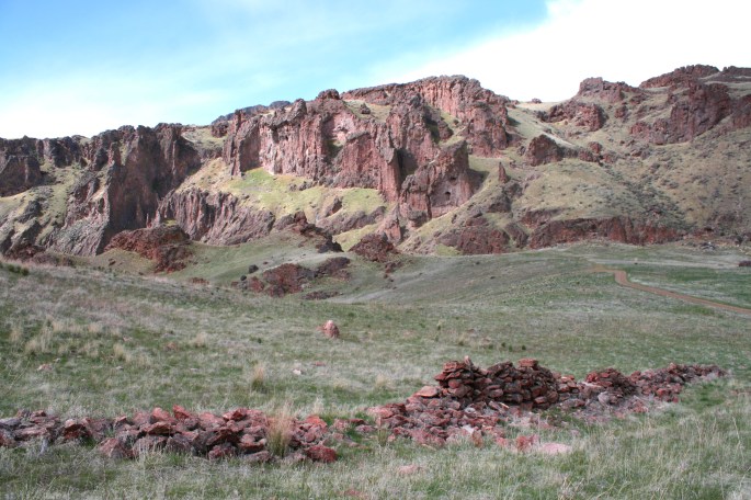
There was a conveniently placed rock pile just sitting there as well.
We took a break here and strolled around, taking in the views and stretching our legs. It took several tries, due to the rays of sun and wind gusts, the get a half decent family portrait.
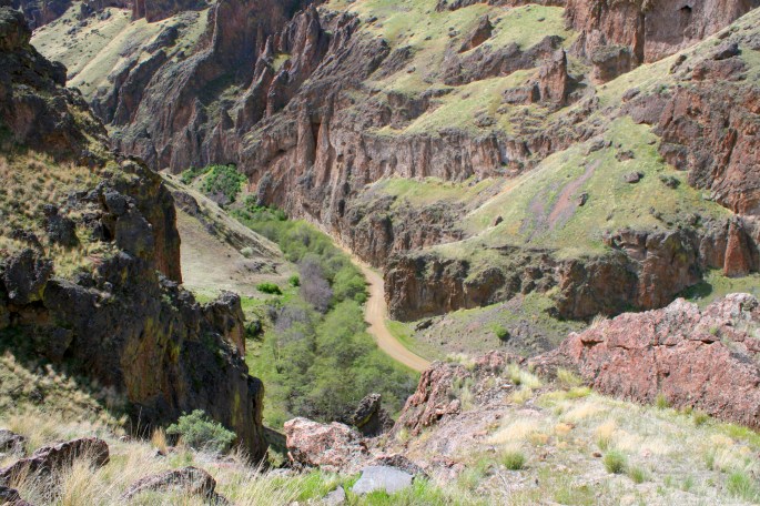
We crawled in 4-low back down to the main road, and finally entered Leslie Gulch. I’ll let the photos do all the talking…
After the visual overload of Leslie Gulch, we slowly made our way back to camp at Succor Creek. We managed to find another detour on a barely marked trail, which looped around from the way we came and offered a new sights on the way home.
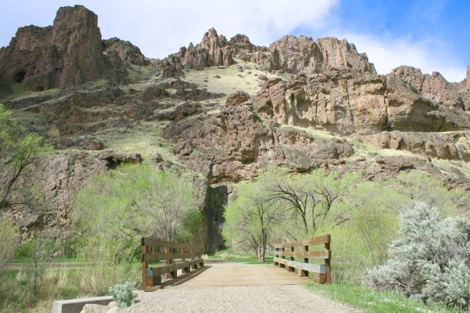
We returned to camp (before dark for once…) and enjoyed another quiet night beside Succor Creek. In the morning we opted to explore more of the Succor Creek area and the surrounding hills. There are dozens of roads and trails dotting the landscape, as well as more cliffs and caves to explore. We crossed the bridge to the east side of the creek.
The water level is likely much lower later on in the season.
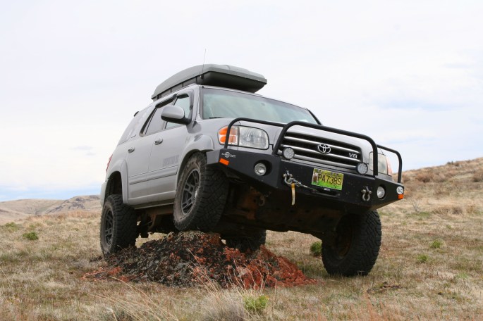
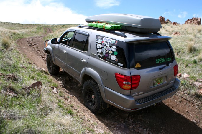
We went up a trail which has a large ditch to cross which required 4-low and high clearance. The winding trail took us up and out of the valley with more views in all directions.
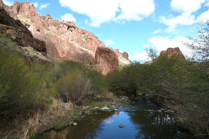
We also spent some time in the canyon getting a closer look at the cliffs.
Of course we had to inspect this old mineshaft/cave which snaked its way into the cliff-side for about 50 feet. The area is quite popular with rock hounds as geodes can be found here.
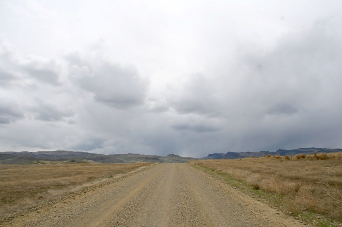
That afternoon we finished packing up and sadly had to being making our way north and toward home. There was so much more to see but it would have to wait until next time. On the drive north out of the Owyhee area, we were afforded new views which we missed when arriving after dark. It was an appropriate farewell to this truly wild place.
It’s clear that the Owyhee is an extraordinary place. Although parts of it have been designated as a conservation area, there are many groups and organizations trying to secure more protection from industry and future development. You can read more about it HERE.
Our time here was special, not just as a family but individually as well. At times it felt as if we were on another planet, or in a Mary Poppins movie scene… The high desert, red-hued rock, and tight canyons are quite foreign to the west coast rain forest we are used to at home in Southwestern British Columbia. I guess that’s part of the reason we love to travel and check out new areas.
There were too many enticing dirt paths left unexplored, winding their way to the horizon in all directions. We’ve already decided that we will return to the Owyhee in the near future. Hopefully we’ll have a longer visit next time,allowing us to crawl around those dirt tracks, like wide eyed little kids in a big fancy new playground…
-JC
