This is a collection of photos taken during a two week family trip from the West Coast to the Kootenay Region of British Columbia. We did this trip to seek out some higher elevation roads, in accordance with our ongoing research into the highest drive-able roads/trails in BC. Our tour of the mountains was done back in September 2017, and you may recognize some of the photos, but we’ve never published the full set. During the trip, we saw a variety of terrain going from warm summery temperatures down low, to cool glacial breezes up in the alpine. We added captions to explain most of the photos. Enjoy!
A cool stream along the way.
Classic rides in Hedley.
Roadside in Keremeos.
One of many fruit orchards in the Similkameen.
You never know what you’ll find roadside in the small towns.
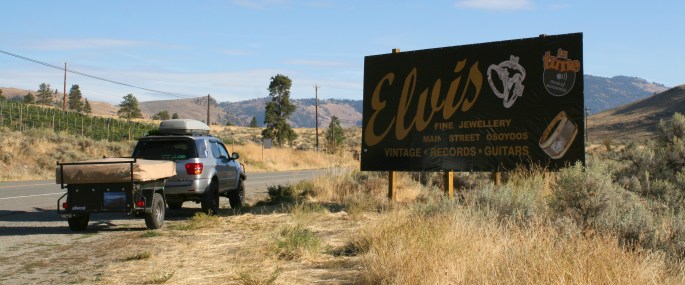
We passed by some evening drags at the local strip in Osoyoos.
We passed by some evening drags at the local strip in Osoyoos.
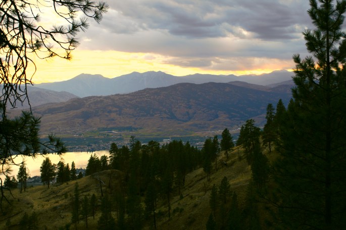
Sunset from camp in the Okanagan, just north of the US border.
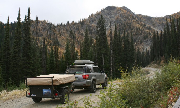
There are plenty of roads to wander up in BC.
The trusty Kakadu happily following along wherever we go.
Coming down from camp.
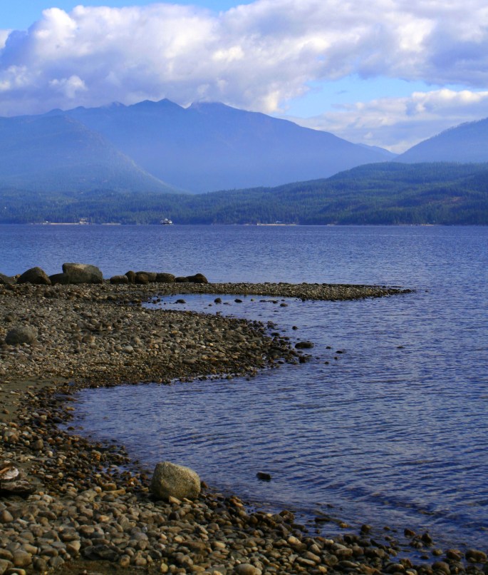
Waiting for the ferry across Kootenay Lake.
Hoodoos near Canal Flats.
Hoodoos near Canal Flats.
One tripod-less blurry image of camp at night. It was well below zero even in September.
Morning view from camp.
Exploring around the Invermere area.
Exploring around the Invermere area.
Exploring around the Invermere area.
Exploring around the Invermere area.
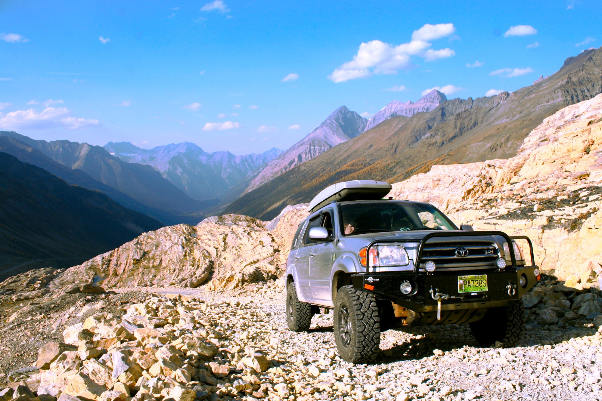
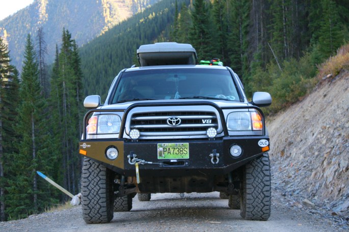
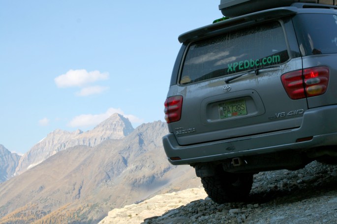
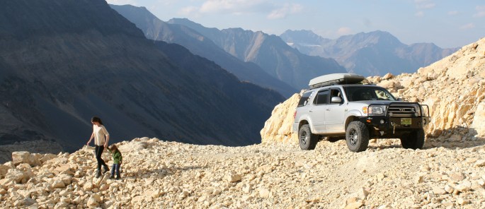
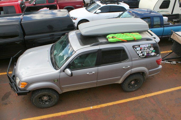
Timeless Sequoia design!
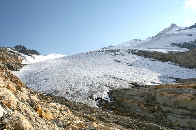
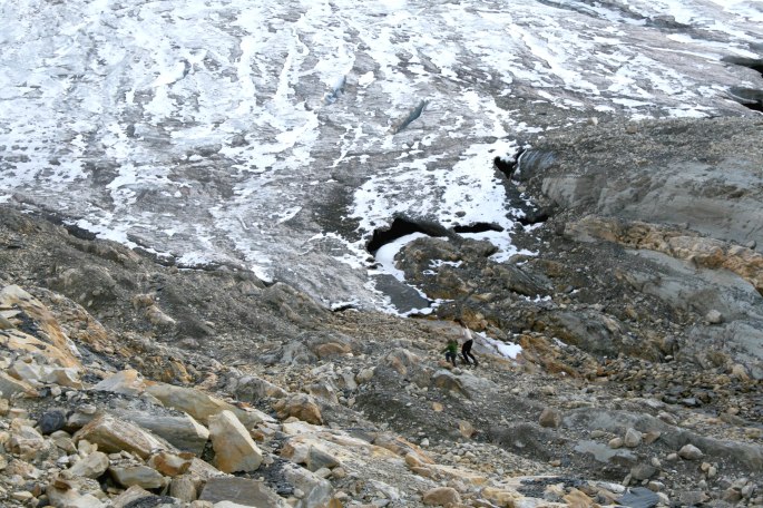
One of the main destinations of our trip was this fairly remote valley with a giant glacier at the end. After scouring the forums to find some hidden beta on reaching this place, we finally found it! I’ll admit there were some wrong turns along the way…
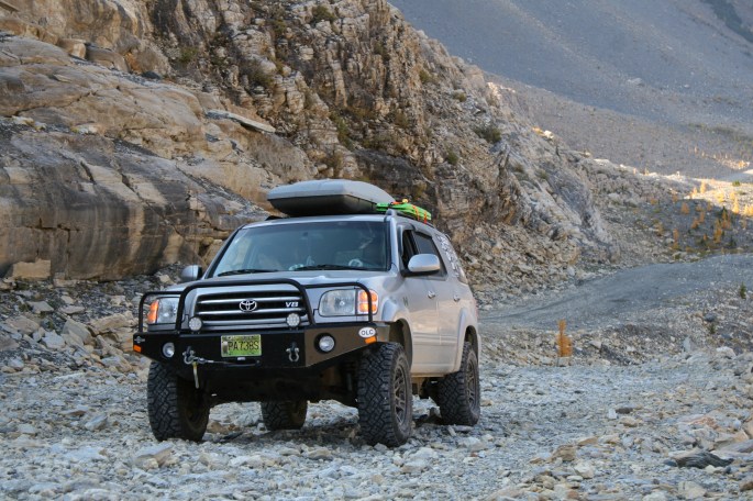
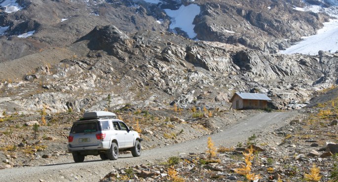
Getting higher – the glacier is the destination.
Getting higher – the glacier is the destination.
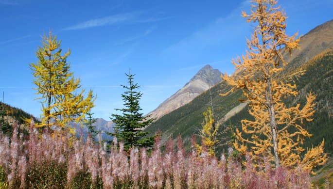
Colourful avalanche runout.
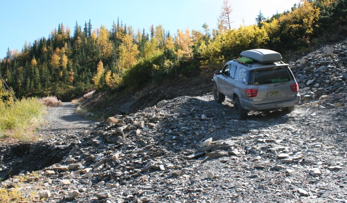
Made our way over some washouts, a common theme on BC roads.There was a variety of colours with the golden larches and fire weed wildflower finishing its cycle.
Another obstacle on the way up.
Getting closer to the alpine.
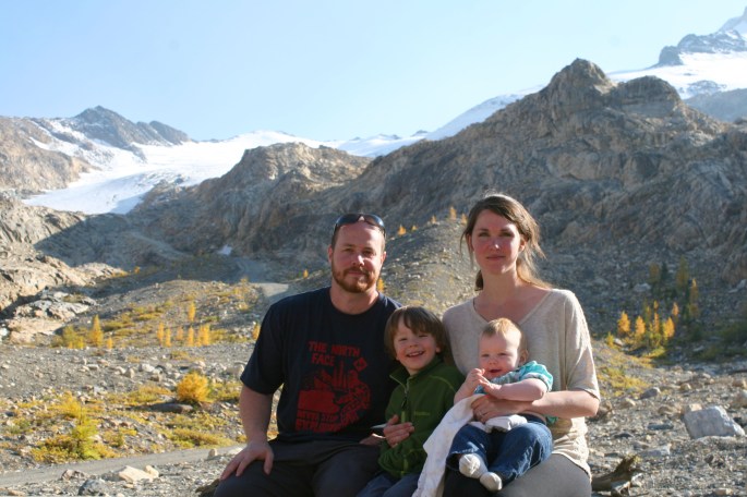
Leaving the trees behind.The horizon looked like a painting.The little cabin was a rad place to hang out for the afternoon.Even the kids were having fun!Here was pretty much the end of the road.The glacier was finally within reach!Off for a walk to touch the ice. The sun rays were bouncing off the glacier like being in a spotlight.Beauty of God’s creation!Walking to the to of the ice. I don’t recall the elevation here but it was near 8000 feet.
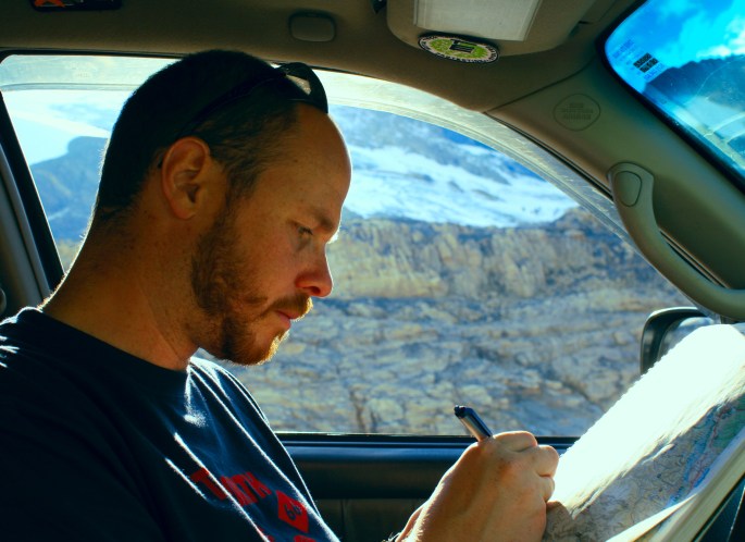
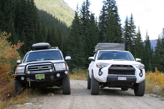
Going over routes on the map. A rare picture of JC!
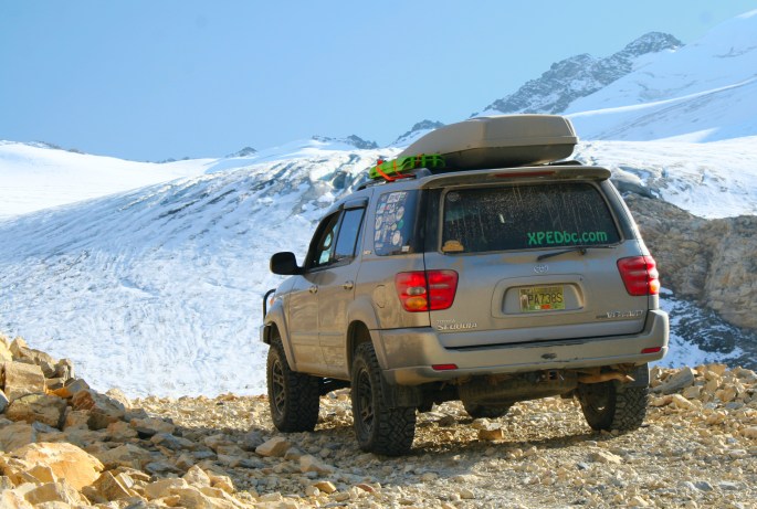
So there it was, one of the highest roads you can drive in B.C. in a conventional 4×4. Surprisingly, this wasn’t the highest, but we’re still working on that list for a later reveal…
After reaching the glacier, we headed back down to spend several days taking the long way home. This included the Gray Creek Pass!
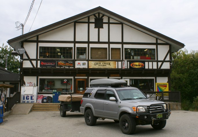
Nearing the 6800 ft summit of Gray Creek Pass, roughly between Kimberley and Nelson.We found a friend! It’s funny where you happen to run into people from close to home, in a far off place. Hello Kevin and Sydney!We finished off the adventure spending time at the Gray Creek Store, a local legend and supply stop. It’s well worth the visit.A parting shot from the ferry on the ride home.
That concludes the photo essay! Each time we criss-cross this province we experience the diversity of terrain and environments, and are reminded of why we love living and exploring here so much.